


Exovision’s Space based Weather Data and Weather Intelligence Services provide accuracy, large range in coverage, timeliness and flexibility, and lower the cost of your business operations. Our Space-based weather predictions are based on cutting-edge microwave technology providing very precise and accurate measurements of water content in the atmosphere. A constellation of 30 polar orbiting satellites provide a comprehensive global view of weather. Our data is updated every hour, providing accurate forecast on rapidly developing local weather events based on real observations.
 AGRICULTURE
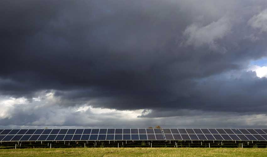
 ENERGY
 GOVERNMENT
 SAFETY & SECURITY